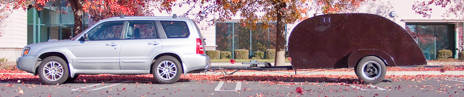
It doesn’t get much better than this. After I spent the day shooting the power houses, dams, and spillways on the Kootenay between here and Castlegar, I met my long time internet acquaintance Mado and her husband Mark for beers at the hotel pub.
We clicked at first sight and ended up at their place for some beer, and had a pizza delivered. We had a wonderful time talking and eating.
He teaches at-risk high school kids and she teaches photography, science, and French language at the French Immersion school. He’s a local and she’s from Quebec City. Completely delightful people to spend the evening with.
They are both photographers, and it was Mado’s pictures of waterside scenes around Nelson that made me decide to visit there in 2008. Mado’s photos made Nelson seem like the most peaceful place on earth. That was Mado’s doing, she got up early each morning to see if the lake would be still enough for her reflection photos. If it wasn’t, it was back to bed ;-) Mark and Mado refer to these photos as her “Serenity Series,” and serene they were.
When I visited Nelson in 2008, it was late summer, the town was full of tourists and hippies. The lake water was warm so there were swimmers and boaters galore. This year, I visited in late spring, so the lake was still cold from snow melt and the kids were still in school so there were few tourists. It makes Nelson an entirely different town.
The Kootenay River falls more than 250 feet between the outfall of Kootenay Lake and its juncture with the Columbia, at Castlegar. The early mining magnates realized this and quickly started building a series of dams and powerhouses to capture and harness this potential energy. The result is a series of six dams and a peripheral canal and power house. When I visited in ’08, the lake was low and there was no excess water that wasn’t running through the power turbines, so the spillways were dry. This year the lake is high, there’s lots more water than is needed for power generation, so there are huge whitewater displays at the spillways that route the excess water around the dams.
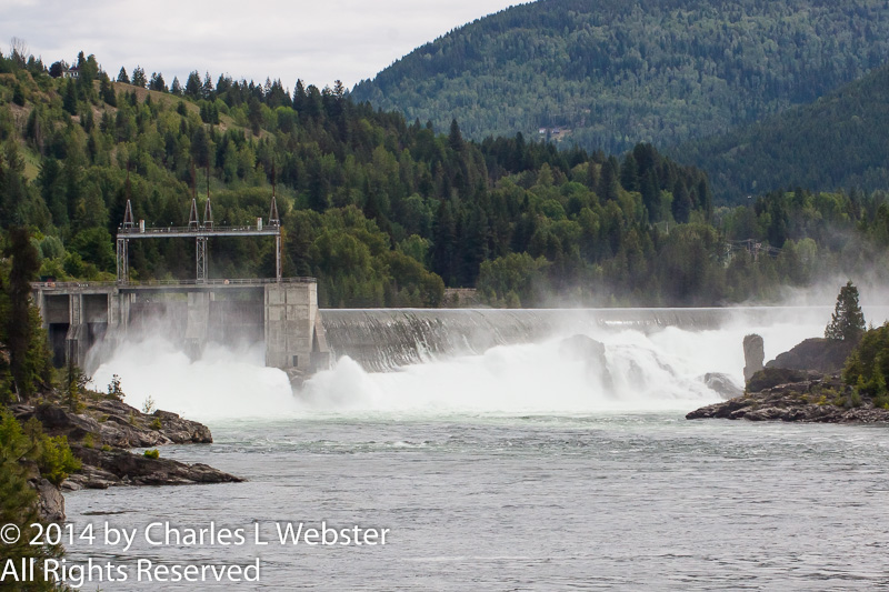
Spillway on the Kootenay River
The dams and powerhouses are hard to get clear views of. The road access is closed a long way from the river and the river views are often on dangerous stretches of highway. I tried a bunch of side roads with minimal results this morning. Tomorrow I’ll go up lake to Kaslo and around the Kootenay Loop to see what there is to be seen. I had hoped to go to Ainsworth Hot Springs, but the pools are closed until the end of the week for renovation and repair. Oh well, no hot water up to my neck.
I’m still having the time of my life!